Surveying Consultancy
Survey Consultancy Pinaka Consultancy Services, Provide Survey Consultancy Land Survey Total Station Survey, Drainage Survey, Quantity Survey, Canal Survey, Building Survey, GPS & GIS Survey, Drone Survey , Bathymetry Survey etc.
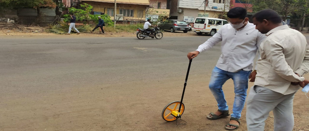
- Road Survey
- Drainage Survey
- Quantity Survey
- Canal Survey
- Building Survey
- GPS, GIS Survey
- Drone Survey
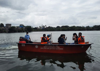
- Bathymetry Survey
List of Equipment’s
- Differential Global Positioning System (DGPS)
- Company: Geomax Zenith 35 pro with tilt Correction
- Accuracy: 13 km
- Range: 7 Km Radius
- Water & dust proof work in rain
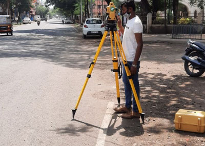
- Total Station
- A. Leica TS03 5”
- B. Satlab 2” with tablet Support
- C. Topcon GTS 2000
- DJI phantom 4
- A. 32 Gb ram Processor for drone survey
- B. Zen Book DEO for on site data calculation
- C. Drone (DJI Phantom 4 )
Work Done
- PMGSY Ajra Road
- Canal Work @ Kolhapur for DE Davane Sir
- Major Work for Land Measurement (Bhumi Abhilekh)
- Drone Survey private & Municipal Corporation
- Raigad Dumpyard Survey
- Stock pile calculation for Shirol MIDC
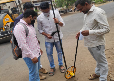
- 100 feet road profile leveling Survey
- Weir Survey @ Kolhapur.
- Drone Survey Under Smart City Project
- Total Station Survey for Beautification 14 Intersection point
- DGPS Survey for Road Development
- Survey For Drainage system existing & New
- Survey of flood affected area.
- Babasaheb Gunjate Plot development project
- Shivshakti Construction Canal Survey & quantity work out under Tembhu Lift Irrigation Proejct.
Our Clients - Govt. Sector
- Sangli-Miraj-Kupwad Municipal Corporation
- Irrigation department Sangli
- WRD Department Sangli
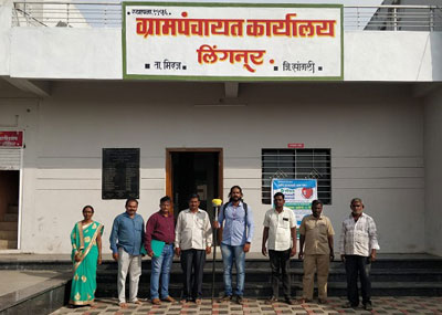
- Zhilha Parishad Sangli
- Central Government ( Jal Jivan Mission Survey )
Our Clients - Private Sector
- Babasaheb Gunjate
- Shiv-Shakti Construction Sangli
- Deccan Infraventures.
- Nirmiti Construction
- Gheware Aawati